 |
||||||||||||||||||||
|
|
||||||||||||||||||||
|
Except as otherwise noted, all material on this website is copyright, 1997 to 2015. |
||||||||||||||||||||
|
Website visitors since 15/1/03 |
||||||||||||||||||||
|
|
||||||||||||||||||||
|
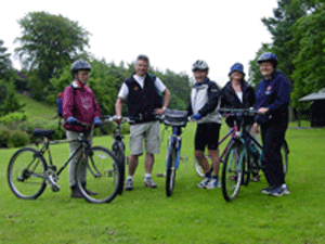
A report produc As of 2010, the Deeside Way is open throughout the length running through Drumoak and Crathes. More generally, the majority of the Deeside Way in now available for use, the main gap being from Banchory to Aboyne. Click
|
||
 ed by CDDCC in 2002 made proposals for the creation of a path from Peterculter to Milton of Crathes, bridging a large gap in the Deeside Way, which was envisaged as running from Aberdeen to Ballater. This built on the report commissioned in 1995 by Grampian Regional Council.